SGTL offers world class quality services in GIS, has a team of engineers with years of experience to satisfy the most of the customer needs. Which includes…

We have all the types of LiDAR solutions for our clients and depending on the specific requirement we meet the needs.
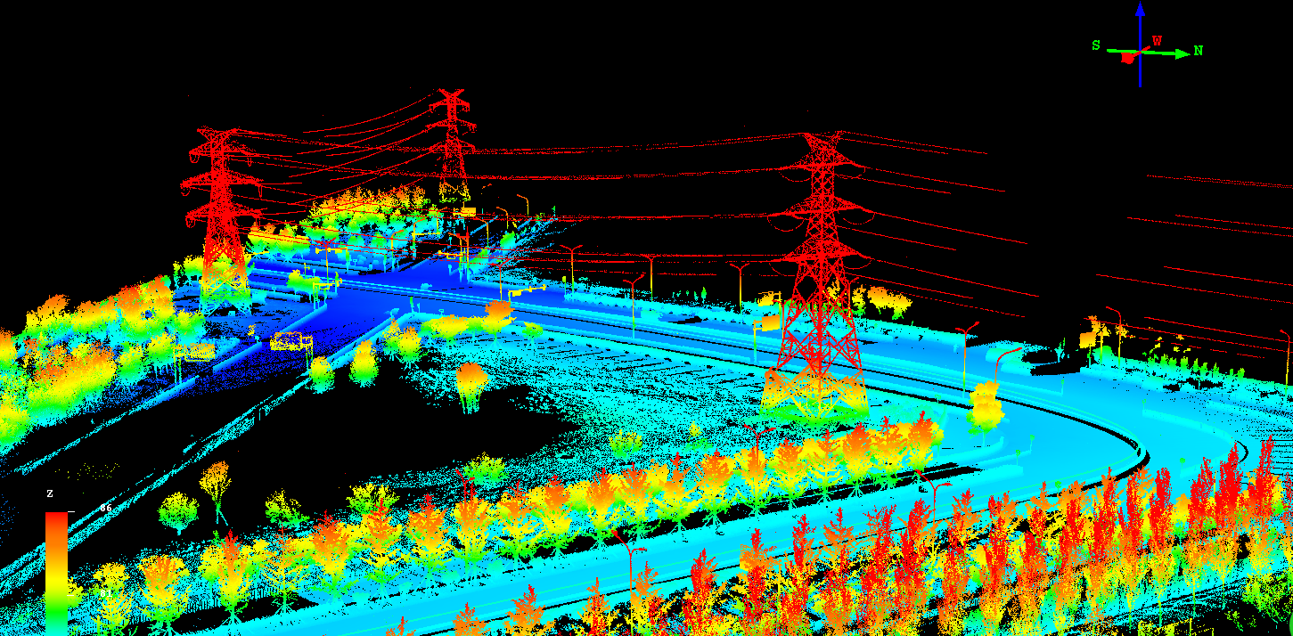
LiDAR (LIght Detection And Ranging) , a new technology in the field of topographical data collection with high speed,
high density and accurate data. LiDAR scanning can occur day or night, as long as clear flying conditions are present;
also have the capability to capture intensity reflectance data in addition to the x-y-z coordinates.
GeoShot is one of the leading LiDAR service providers to international clients with high quality.
Bare Earth Classification (Our LiDAR data processing services :
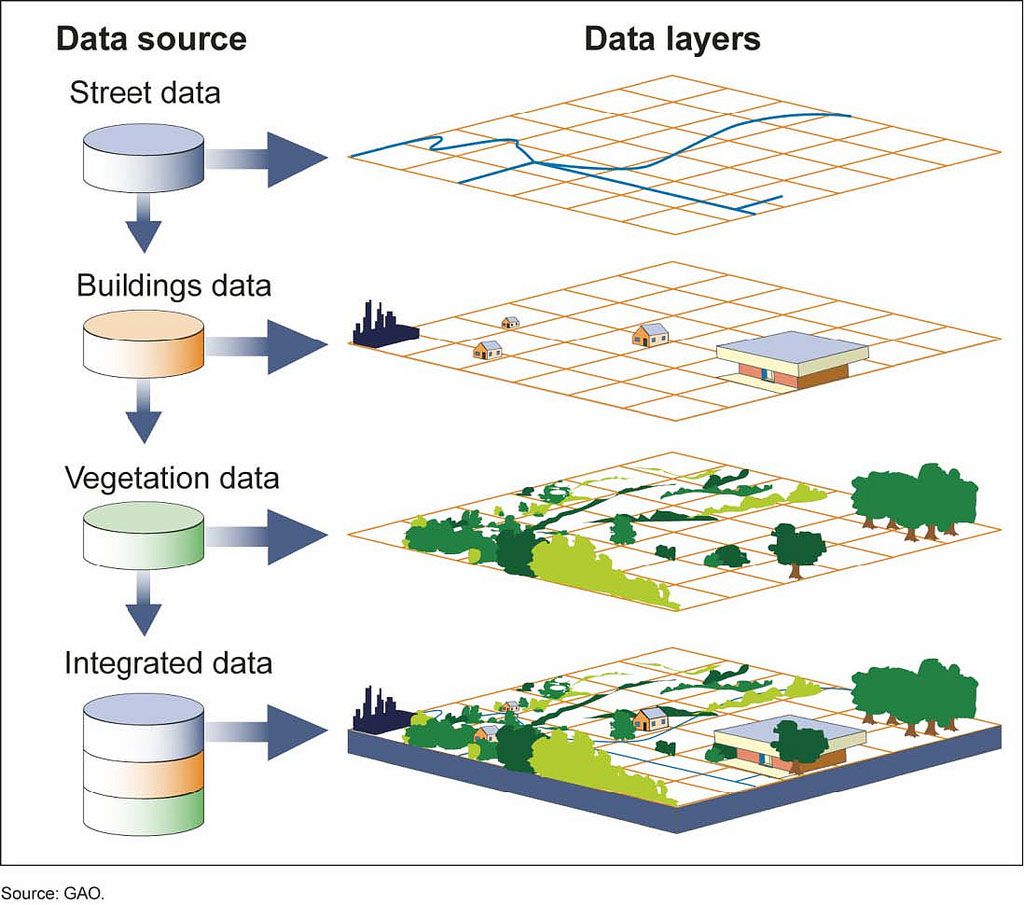
Utility Mapping Services has built up considerable expertise in data capture for utility mapping as well as interpreting and digitizing information on many types of utility lines, e.g. Water mains, Sewage systems, Telephone lines, Power lines, Gas mains, Oil Pipelines, Railway/signals mapping. We perform the Geo referencing and digitizing of the existing maps and drawings and extract of all relevant utility information with precise geometry, and all dimensions with engineering know-how for placing the objects on the technically appropriate
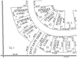
cadastral conversion, ranging from Land Records Scanning & Mapping, Coordinate Geometry (COGO) Mapping, Digital/GIS Conversion, Cadastral/CAMA Integration, and Cadastral/Land Use/Zoning Integration & Cadastral Data Maintenance. We provide integrated (spatial/non-spatial) digital maps with information like accurate area, ownership details, seamless cadastral map with searchable/ query enabled solution.
Navigational Data Mapping is indispensable for proper safety when navigating any kind of transport system,
whether air, rail, and road. perfect map creation with proper detailing is necessary as per the highest safety
requirements whose importance need not be over emphasized.
We create map data for all the sectors, and these meet the requirements of the highest standards set by the specific industries.
We maintain and create navigational data bases and perfectly update it, so that it reduces multiple navigations and thus pollution.
This data is very useful in all types of operations.
our services include, database creation and maintenance, Geometry and attribute update and analysis, asset and land use mapping,
crowd sourced data processing.
Created navigation data for National Highways, State Highways, Street Roads for complied data for PND PDA Devices for more than200 Cities.
Created Road Geometry considering the various features like round abouts , Junctions, Flyovers, Under Bridges.
Captured Address information from drive file. Which includes the Road Traffic Directions, Signs, Speed limits, Etc..
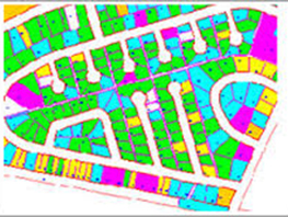
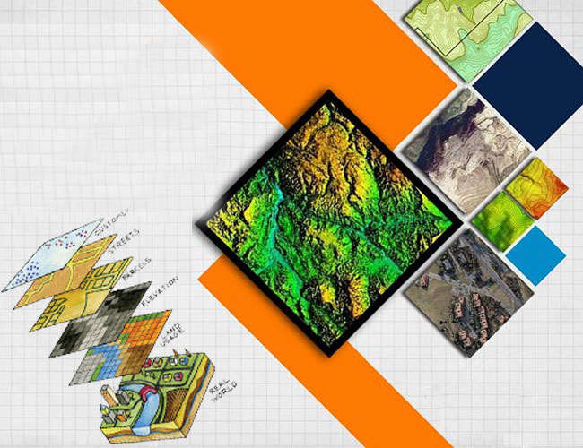
Thematic, Geology and topographic mapping as well as interpreting and digitizing information on many types of maps such as Geology Maps, Land Use Maps, City maps, Mining Maps, Soil Maps, Population Distribution Maps, Railway/signals mapping, Zoning maps, etc… We have expertise in contour mapping including the generation of slope or aspect maps, shaded relief views, locate watersheds and combine shaded relief with Satellite imagery.
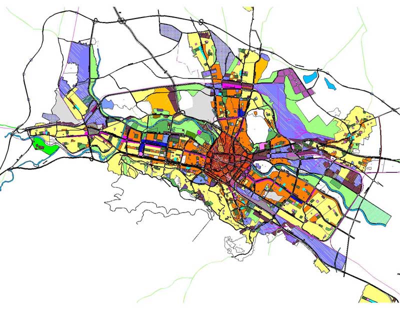
Land mapping solutions are essential for planning and development. Land Mapping solutions focus on land records and details of their database. These tools support the decision making and analysis.we offer Services for development, Implementation, and maintenance of land information systems
Feature Extraction from most of the commercially available satellite data products, including IKONOS, QuickBird, SPOT, ASTER, IRS, Landsat, Radarsat, MODIS, and NOAA. With our remote sensing capabilities we can provide services like Land use/land cover morphology data, Vector updates, High-resolution urban mapping, Forest density mapping and DEM extraction from stereo pair of medium resolution images. We can also extract/place the POIs (point of interest) for tourist maps with various sources.
To migrate legacy data into and for use by modern systems and delivery channels.
The processes employed for this range from consultancy to turnkey implementation.
We offers data migration both as a standalone service or as an integrated part of a wider engagement.
Risk minimization through robust data validation, workflows, and approval processes
Cost control due to reduction in migration efforts
End-to-end visibility across tasks and schedules
Simplification in migration processes due to built-in methodology and template
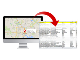
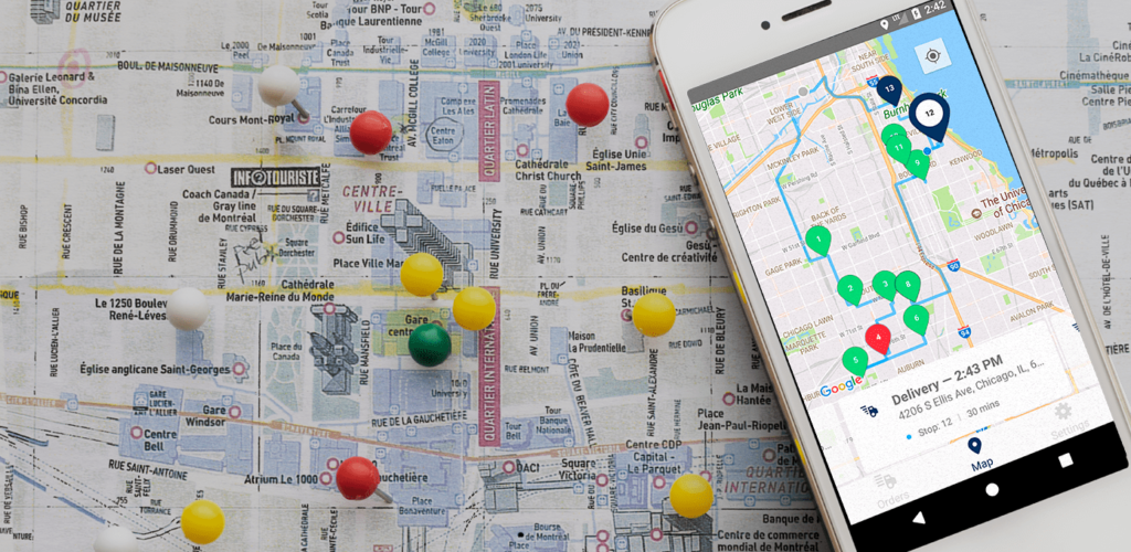
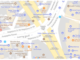
Address Mapping Geocoding refers to finding Latitude & Longitude of an Address. Lat-Lon of an address can be extracted from public map databases like Google maps, Wiki maps, Bing maps etc.,
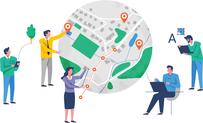
Location data for all transportation systems needs to be managed, transformed from time to time,
and interpreted with precision. All types of operations would be possible with the location data.
Our services include, Web application development, Mobile based application development, advanced imagery and sensors and system integration.

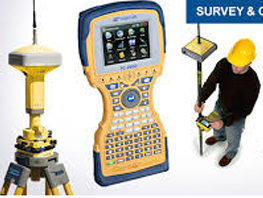
We Provides GIS survey , DGPS, GPS based solutions for finding centimeter accurate latitude and longitude for various purposes using control points.
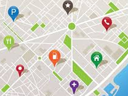
Points of Interest (POI) data provides information on the location of - and details relating to - a diverse pool of business, leisure and geographic features. This provides users valuable insight which can be applied to making decisions around areas such as risk analysis, access to services or recreation facilities, store location, location-based marketing, and “find my nearest” searches. Any organization can combine the POIs with their own data to create maps, view and analyze trends, understand competitive threats and advantages, and consider opportunities for


Development division is focused on GIS. Our GIS expertise has broad experience in various technology platforms and offers highly flexible solutions in several ways like Development of GIS Mapping Solutions (Desktop/Intranet/Internet), Application Software Development, Development of automated Workflow Management & Monitoring System (WMS) and web based solutions for real estate & home builders, post processing like Ortho-photo color balancing and mosaicking etc.